

Latest
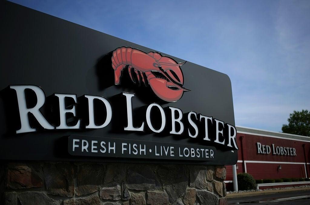
Red Lobster Reportedly Heading to Bankruptcy
Adam Barnhardt


Everything Coming to Hulu in May 2024
Charlie Ridgely

The Witcher 3 Mod Tools Finally Come to Steam
Hannah Adkins

Kung Fu Panda Is Now in Minecraft
Ricky Frech

Look Back Movie Poster Released
Nick Valdez

XDefiant Is Holding Another Playtest Soon
Ricky Frech


Trending Now
Videos


Gear

Everything Sanrio Is Buy 2, Get 1 Free, Including An Exclusive Earth Day My Melody Funko Pop
Sean Fallon


Gaming
The Witcher 3 Mod Tools Finally Come to Steam
Hannah Adkins
Kung Fu Panda Is Now in Minecraft
Ricky Frech
XDefiant Is Holding Another Playtest Soon
Ricky Frech
Baldur's Gate 3 Mod Suggests Scrapped Bard Companion
Hannah Adkins

Anime
More stories about Anime


The Walking Dead
Robert Kirkman: The Walking Dead Animated Series Can't Happen "Until I Get the Rights Back From AMC"
Cameron Bonomolo

The Walking Dead Creator Scrapped a Comic Prequel
Cameron Bonomolo

TWD: The Ones Who Live Was Better Than Its Finale
Brandon Davis

The Walking Dead Debrief: The Civic Republic Military
Cameron Bonomolo

New Look at The Walking Dead: Daryl Dixon - The Book of Carol
Cameron Bonomolo

Star Wars
Disney+: Every Movie & TV Show Arriving in May 2024
Charlie Ridgely
Fortnite Seemingly Confirms Chewbacca Content
Marc Deschamps


Disney Star Wars May the 4th Tatooine Collection With Starbucks Tumbler Is Available Now
Sean Fallon

Comics
DC Brings Back a Long-Forgotten Green Lantern Villain
Jenna Anderson


New Werewolf by Night Series Announced by Marvel
Adam Barnhardt


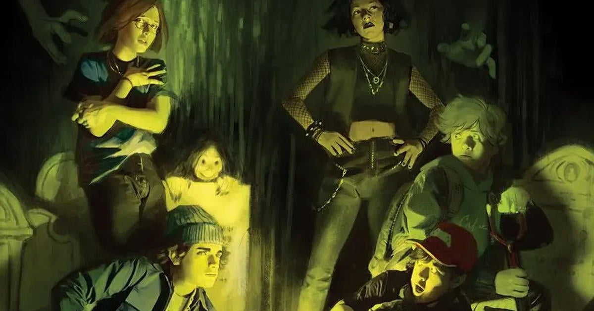
DC Announces Sequel to The Nice House on the Lake
Jenna Anderson